5 days
4 nights
Approx 100km

Image: Cooloola Great Walk (from Queensland.com website)
Leaving from Rainbow Beach end
Date TBA, but from 12th April onwards
Cost is $6.75/night/person ($27 on QPWS booking site), plus any associated transfer costs
You won’t need a lot of experience, but you will definitely need to be fit and committed to completing the entire 100km. I’m not carrying anyone out!
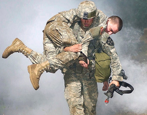
Image: I’m not doing this! (Credit for image: click here)
This is a remote hike that requires self sufficiency and you will need to carry all of your own gear in a pack on your back. This will weigh somehwere in the vicinity of 10 – 20kg. You will be responsible for your own water, your own food and its preparation.
I am more than willing to help anyone who needs a hand with stuff, including advice and any recommendations, I just wanted to make it clear than while I am an experienced hiker with eco tourism qualifications, this is NOT a glamping experience and you will be responsible for your own health, safety and any other requirements.
There are a few companies that charge people for this hike. This company lists it as $1095 per person and all you get is your food and the camping permits. That means that the experience and the food is worth a whopping $1068!! Gees, the food would want to be bloody top shelf for that price. Not sure my indian sachets would cut it:

Image: I love these things! They are so freakin’ yummy. You can get them from supermarkets, but the best ones come from Indian shops (Gits Ready Meals). They are all around $2.50 – $4.00 each.
I have a few hiking items I can lend people, but this is a list of basic requirements:
- Hiking pack (this needs to have some kind of frame. If you can bend your pack , it has no frame and isn’t any good for hiking long distances).
- Tent
- Sleeping pad
- Sleeping bag
- Mess kit (you know, stuff you use to eat. Include a stove here if you want to take one)
- Snake bite kit (At least one good compression bandage)
- Personal light
- Toiletries
- Water and water bottles (inlcude water filtration if you want to filter water. I don’t normally bother if it’s tank water)
- Food
- Clothing
- Good shoes/boots
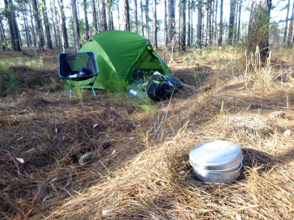
Image: Hiking gear. Trangia stove in foreground. Helinox chair and poles, Wilderness Equipment tent.You don’t need expensive gear like this. I only have it because sponsors gave it to me.
A cheap dome tent (not a pop-up one though) from KMart will work fine, or if you want a cheap entry-level hiking tent, check out Snowys. Wild Earth is another awesome outdoor store in Qld. There’s also heaps of good second hand stuff for sale on Gumtree and ebay.
Some stuff you can share, like water filtration, stoves and tents, so not every person needs their own personal item if you are willing to share these things. Sharing stuff also means you can carry half each to reduce each person’s load.
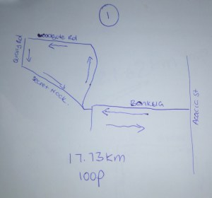
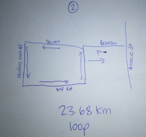
This kind of thing takes a fair bit of dicking around to organise logistically because you have to work out where to leave your car, how to get to the trailhead from where you did leave it, and then at the end, ummm, how do I get home?? So, what I’m saying here is that if you are interested in coming along, we’d have to sort these details out. I can fit (read: squash) 4 other people in my car.

Image: This is a tidied up version of what dicking around looks like. Of course, this doesn’t capture the ten hours I’ve invested in the whole thing or phone calls and emails I’ve made and sent to ask questions about car storage, transportation, etc, etc. It’s easy to see why a lot of people just pay the thousand bucks for a tour company to do this for them. It would save a lot of hair-pulling.
Contact me on this website or send me and email to let me know if you’re interested:
talulasweetie@gmail.com
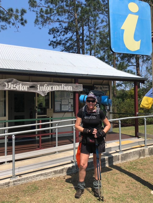
Image: Me on the last long distance hike I did (450km).